-
Model:
ADMT-200ZN, ADMT-400ZN, ADMT-800ZN
-
Features:
1-60 channel integrated ground water detector with HD Android touchscreen. Auto-imaging & AI analysis. Cloud multi-terminal sharing for collaboration. Multi-channel tech beats MT instability for accurate, repeatable results up to 800m.
Supports free switching between 1–60 channels. For simple areas, single-channel mode enables rapid surveying; for complex or high-precision scenarios (such as guaranteeing a water-rich well, or “water guarantee” projects), it can be easily upgraded to 12/24/36/48/60 channels, perfectly balancing efficiency and accuracy.
Advanced Technology for Reliable Data
Utilizing natural electromagnetic fields as the source and multi-channel synchronous measurement technology, it overcomes the randomness of traditional MT field sources, obtaining stable, highly repeatable data on underground electrical structures.
AI-Powered Real-Time Decision Making
Equipped with proprietary intelligent software and AI algorithms, it achieves real-time imaging of geological structures, precise prediction of groundwater distribution and quality, and assists field personnel in optimizing drilling strategies on the spot—critical for successful water well projects.
Strong Adaptability and Easy Operation
Supports optional sensor probes, ideal for complex terrains where electrodes are difficult to insert. Significantly reduces manual processing time and error rates, improving the overall efficiency and success rate of groundwater exploration and well drilling.
Quick Version Multi-Channel Groundwater Detector
R&D Since 1973

6-Month Trade-Up Guarantee
The Quick Version Multi-Channel Groundwater Detector is an integrated 1-60 channel intelligent instrument designed for groundwater exploration. It features real-time data acquisition and processing, automatic imaging, AI analysis, and seamless multi-terminal data sharing via cloud. Equipped with a 7-inch high-definition Android touchscreen, it automatically recognizes channel count and uses specialized rugged interfaces with touch-controlled switches. Data is automatically imaged after acquisition, with results accessible and analyzable across multiple devices. Its multi-channel simultaneous measurement resolves the limitations of traditional MT methods, providing a stable field source with excellent measurement repeatability. It delivers high-density big data, breaks through depth constraints, and achieves a maximum exploration depth of up to 800 meters.


Applications
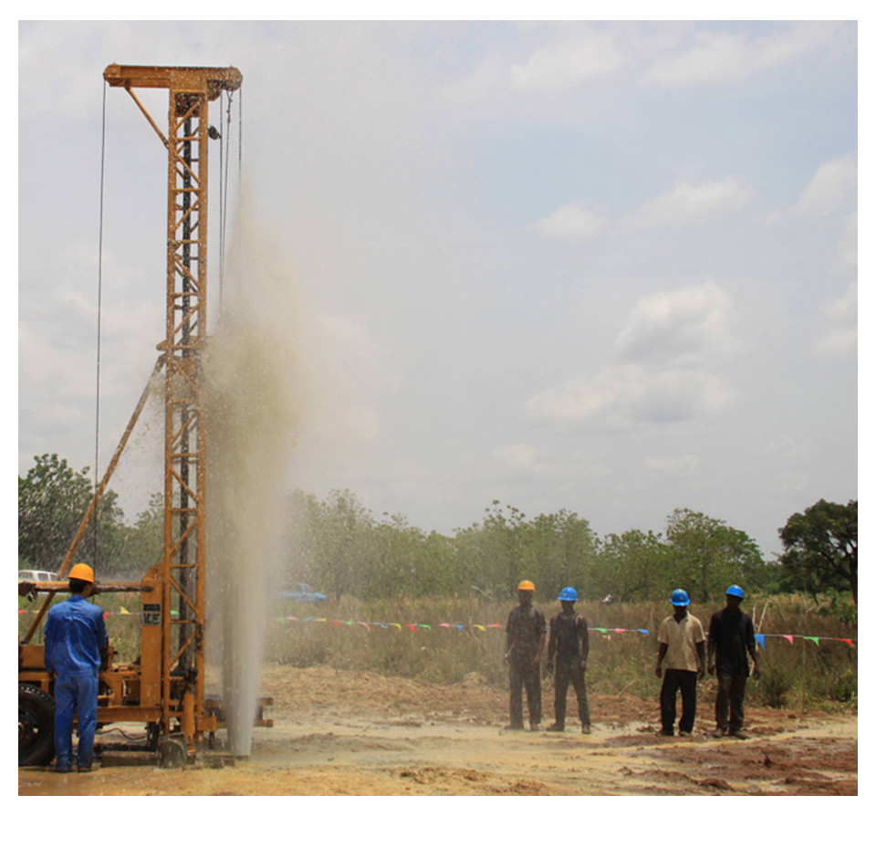
The quick version multi-channel ground water detector is used to determine the location, depth, and potential yield of groundwater, providing valuable guidance for well drilling operations and ultimately increasing the success rate of getting water. It can also be applied in detailed and general hydrogeological surveys

SIX ADVANTAGES TO HELP YOU EXPLORE WORRY-FREE
Innovation for Reliable Data
 Adopts multi-channel synchronous measurement technology to solve the instability pain points of traditional MT field sources. Core analog-digital integrated packaging combined with a high-performance processor ensures stable and accurate data output even in the most challenging environments.
Automatic Imaging – Get Started in 5 Minutes
 Upon completion of measurement, it automatically generates real-time 2D, 3D, and curve images. The intuitive interface is easy to master – even beginners can produce results immediately.
AI Intelligent Analysis
 Achieves full-process automation, significantly reducing operational difficulty and interpretation barriers for users.
Cross-Device Synchronization for Seamless Workflow
 Data can be accessed, processed, and analyzed on the instrument’s large screen, mobile APP, or PC—enabling smooth collaboration from field surveys to office review.
Rugged and Reliable Design
 Features high-performance heat dissipation, specialized industrial-grade aviation connectors, and universal charging solutions, ensuring long-term stable operation in harsh field conditions.
Lifetime Technical Support
 Professional support team provides lifelong technical guidance – from data processing to equipment maintenance, AIDU is always available to assist.
Full Kit

Product design, packaging, or accessories are subject to change due to ongoing improvements. For the most up-to-date information, please contact our service team.
TECHNICAL PARAMETERS
| Versions | ADMT-200ZN | ADMT-400ZN | ADMT-800ZN |
|---|---|---|---|
| Max Depth (m) | ≤200 | ≤400 | ≤800 |
| Scan Interval | 10 M | ||
| Channel Options | One device for 1-60 channels, standard with single channel (MN), optional MN channel extension and TT sensor | ||
| Meas. Mode | MN/TT | ||
| Freq. Range (hz) | 0.1-6500 HZ | ||
| Filtering | FFT Smart | ||
| Discrim. | 0.01mV±2% | ||
| Acq. Time (s) | 15s | ||
| Connection | Six-pin aviation socket (compatible with MN cables and TT sensors), charging port / USB transmission integrated interface, wifi 5, bluetooth 4.2 | ||
| Display | 7 "IPS high brightness touch screen | ||
| Resolution | 1024*600 | ||
| OS | Android 13 | ||
| CPU | RK3568 | ||
| GPU | Mali G52 | ||
| RAM | LDDR4/4GB | ||
| Storage | 32 GB | ||
| Core Features | Auto analysis, free software upgrade, one device for all channels, segmented depth survey, real-time curve, color contour mapping | ||
| Other Features | GNSS, optional 4G connection | ||
| Battery | 6000mAh | ||
| Main Device Size | 24.6cm*17.4cm*8.2cm | ||
Customer Cases
Hubei China

Product: ADMT-200ZN
Image Interpretation:The survey area primarily features calcium bicarbonate-type water geology, with distinct apparent resistivity characteristics in the aquifer. In the profile, the blue-green low-resistivity zone between 5–30 m likely represents shallow perched water and pore water, though the low resistivity is not pronounced. Deeper down, resistivity increases, with red high-resistivity zones interspersed with small-scale blue-green low-resistivity layers, indicating potentially unstable aquifers. From 110–170 m, a prominent blue-purple low-resistivity zone appears, consistent with fractured karst water characteristics. It is inferred that there is a roughly 60 m thick aquifer capable of receiving overflow recharge.
Recommendation: Drill at survey point 3, with expected water-bearing depth of 140–170 m.
Actual Drilling Results: At 30 m depth, the first water inflow appeared, with relatively stable but small yield. Around 60 m, a second unstable aquifer was encountered. At 120 m, the lithology changed to limestone and dolomite; after penetrating the aquifer, water yield increased significantly. Final drilling depth: 152 m, with a yield of 20 m³/hour. The measurement results closely matched the actual drilling outcome.
Trusted by Millions, CCTV Recommended

SERVING THE WORLD

PROFESSIONAL SERVICE TEAM

QUALIFICATION CERTIFICATE
Certificates and Awards: CE, ISO, China National High-tech Enterprise, China National Technical Invention Patent

R&D Since 1973
1973: Developed the domestic short-wire D75 electrical method
1977: Developed an aerial proton magnetometer
1981: Developed domestic resistivity DW83 electrical method
1988: Developed a multi-functional high-power electric method
2001: Developed the NEP series of natural electric field geophysical probes
2005: Completed the "High-Density Electrical Method" project commissioned by the Institute of Geology and Geophysics, Chinese Academy of Sciences
2011: Completed the "Controllable Source Geodetic Electromagnetic Instrument (CSAMT)" project commissioned by the Institute of Geology and Geophysics, Chinese Academy of Sciences
2013: Received the support of the Innovation Fund of the Ministry of Science and Technology, and passed the Shanghai High-tech Achievement Transformation Certification
2017: Developed mobile phone water-finding instrument and geophysical instrument, supporting two-dimensional and three-dimensional automatic mapping of Android system
2018: Independent research and development of 16-channel series products to solve the problem of natural electric field source changes, simple, efficient and precise
2021: Water-finding instrument, geophysical prospecting instrument, aerial geophysical prospecting, earthquake advanced prediction system, etc. will be developed for cloud platform big data automatic analysis function
2022: The company was renamed Shanghai Aidu Intelligent Detection Technology Co. Ltd, and expanded its business operations
2023: Successfully developed a range of proprietary products, including the all-channel speedy ground water detectors, magnetotelluric instruments, and high-density three-component magnetometers


Two-year
Warranty

Lifetime
After-sales

Expert
Support

Free
Upgrade