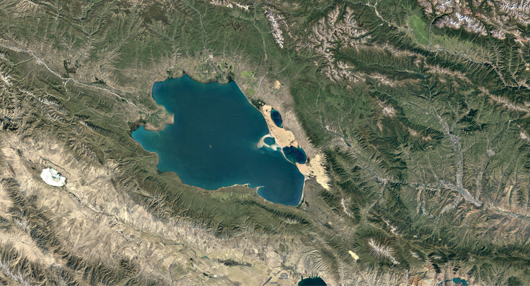
Land Survey Satellite 1 will carry out remote sensing survey of land resources
At 12:11 on December 3, 2017, my country used the Long March 2D carrier rocket at the Jiuquan Satellite Launch Center to successfully launch the Land Survey Satellite 1 into the air, and the satellite entered the scheduled orbit. The satellite is mainly used to carry out remote sensing surveys of terrestrial resources. Its application in resource remote sensing exploration will bring good news to geological prospecting workers.

Remote sensing technology is a detection technology that emerged from the 1960s. It is based on the theory of electromagnetic waves and uses various sensing instruments to collect, process, and image the electromagnetic wave information radiated and reflected by long-distance targets. A comprehensive technology for detecting and identifying various sceneries. Remote sensing technology is a technology that collects electromagnetic radiation information of ground objects from artificial satellites, airplanes, or other aircraft, and recognizes the earth's environment and resources.
Any object has spectral characteristics, specifically, they all have different absorption, reflection, and radiation spectrum properties. Various objects in the same spectral region reflect different situations, and the same object has obvious differences in the reflection of different spectra. Remote sensing technology is based on these principles to make judgments on objects. However, when applying this technology, we should pay attention to the conditions under which the remote sensing technology plays a role, and avoid other factors that affect the normal effects of remote sensing technology. The topographic and geological conditions of a place determine the resource environment formed. In the process of resource exploration, measures should be taken according to local conditions and combined with experience. According to the actual geological conditions and the remote sensing characteristics generated by different conditions, comprehensive analysis, to find an excellent method of exploring terrestrial resources.

Remote sensing technology has the characteristics of large detection range, fast data acquisition speed, short period, less restriction by ground conditions, and large amount of information acquired. The application of remote sensing technology in the process of geological exploration of resources has brought great convenience to this work and greatly improved work efficiency. It has been widely used in many fields such as agriculture, forestry, geology, geography, ocean, hydrology, meteorology, surveying and mapping, environmental protection and military reconnaissance.


