-
Model:
AMC-10
-
Features:
The data acquisition probe of the instrument is made of high-permeability permalloy alloy with special heat treatment method and high-precision manual winding method to refine high-performance sensors
High-precision Three-component Magnetometer
R&D Since 1973
Stable Performance High Sensitivity

Free upgrading at the original price after purchasing within six months
AMC-10 high-precision three-component magnetometer is mainly used for underground strong and weak magnetic mineral exploration. It is also used for geomagnetic pulsation monitoring, exploration of magnetic mixed ore deposits, magnetic survey and mapping, geological structure exploration, seismic monitoring, etc., which can make more accurate judgments on the reserves, scope and grade of metal ores.

Efficient

Accurate
& Stable

Data Sharing

Automatic
Mapping
Applications
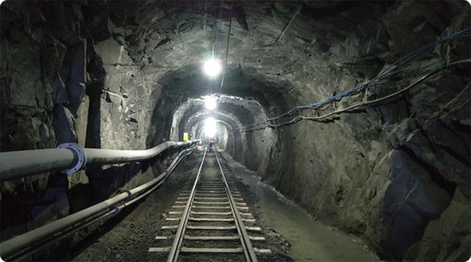
Mineral exploration: widely used in the detailed investigation and general survey exploration of strong magnetic ore, weak magnetic ore and metal ore, reducing the risk of mine investment and improving the success rate and scientificity of mining.
Geological exploration: used for magnetic exploration, geological structure exploration, seismic monitoring, etc.
SIX ADVANTAGES
TO HELP YOU EXPLORE WORRY-FREE
Simple operation
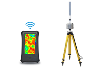 7-inch touch screen, wireless probe connection, easy to learn, five minutes to master the method of use
Accurate and stable
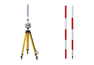 High precision, small steering difference, complex terrain, automatic measurement of X, Y, Z three component magnetic field and total field value
Automatic mapping
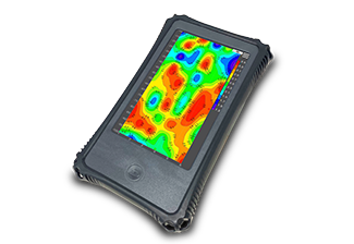 The instrument automatically forms a map in real time, draws a color map of the profile on the spot, and judges the position
Intelligent and efficient
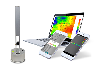 Quickly adjust the level and angle, the console is wirelessly connected to the acquisition sensor, the measurement results are directly displayed on the console, and the data is wirelessly synchronized with the PC.
Free upgrade, value preservation and redemption
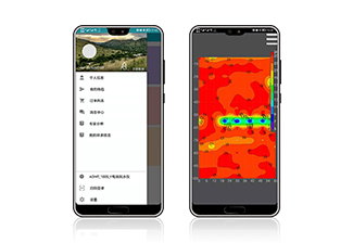 The instrument includes a full set of APP software to support online free upgrades. And within 6 months since the purchase, the value can be exchanged for other products of a higher model
Lifetime technical support
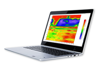 Data processing and analysis, instrument maintenance, online technical guidance and other services are life-long technical support
Components
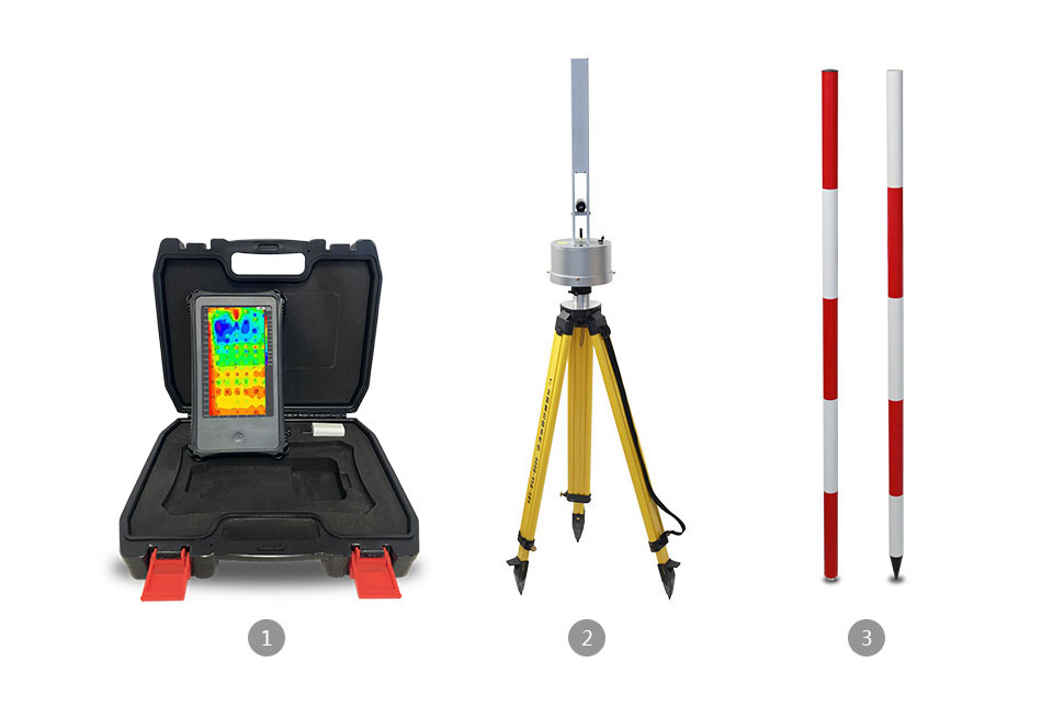
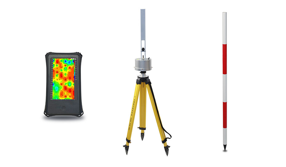
1. Console 2. Acquisition Unit 3. Benchmark
TECHNICAL PARAMETERS
| Model | AMC-10 |
|---|---|
| Survey Directions | X/Y/Z Axis |
| Rotation Angle Error | Z≤±10nT、T±20nT |
| Survey Range | -200000~200000nT |
| Resolution | 0.1-1nT |
| Precision | <±0.5%Fs |
| Sampling Frequency | 1-999s/time,or control manually |
| Connection | WiFi |
| Display | 10 inch Android touch screen |
| Storage | 16G |
| Power Supply | 7.4V / 9000mA battery |
| Power Consumption | 500mA |
| Work Temperature | -20℃ ~ +60℃ |
SERVING DOZENS OF COUNTRIES AROUND
THE WORLD, WELL RECEIVED BY USERS
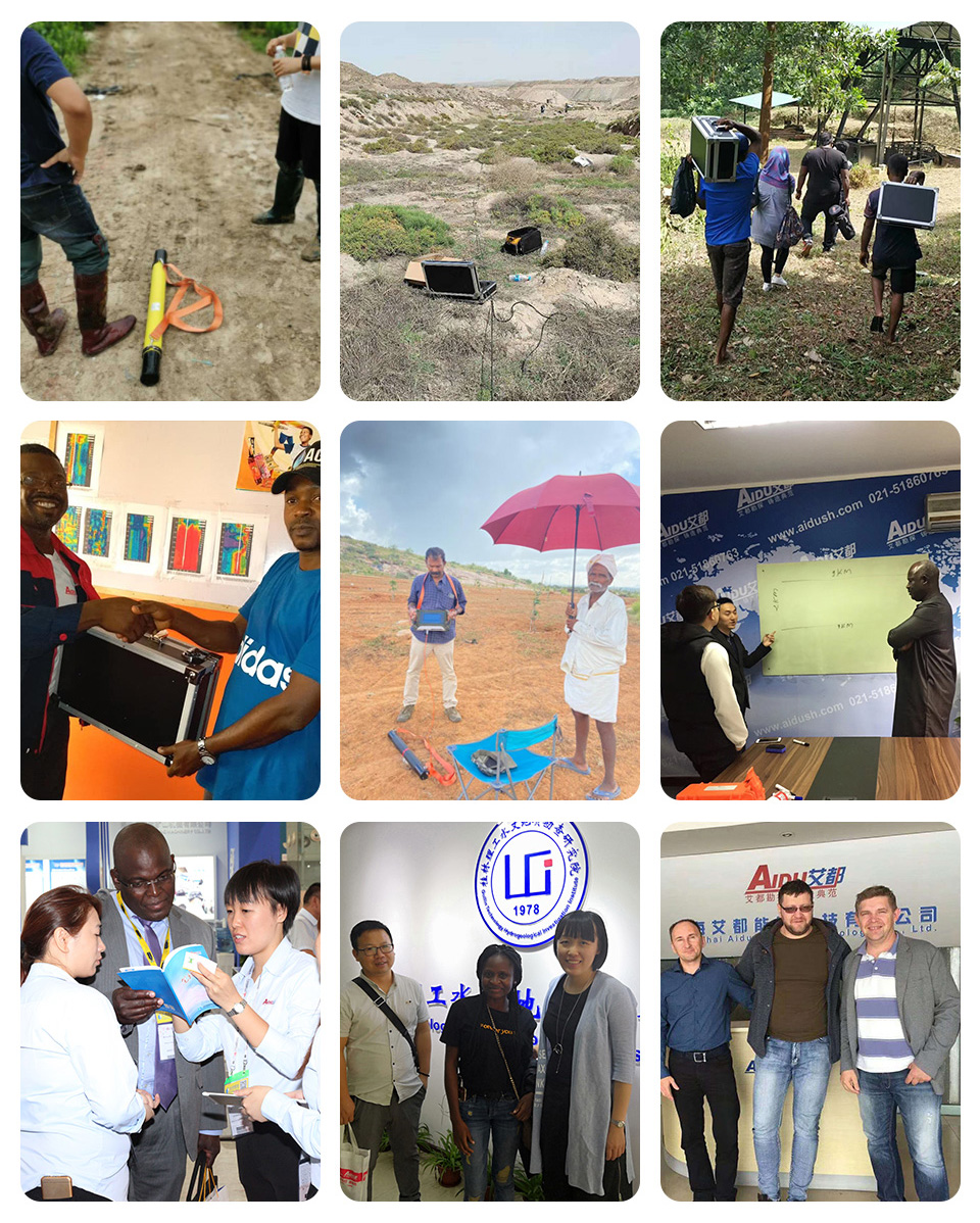
PROFESSIONAL SERVICE TEAM
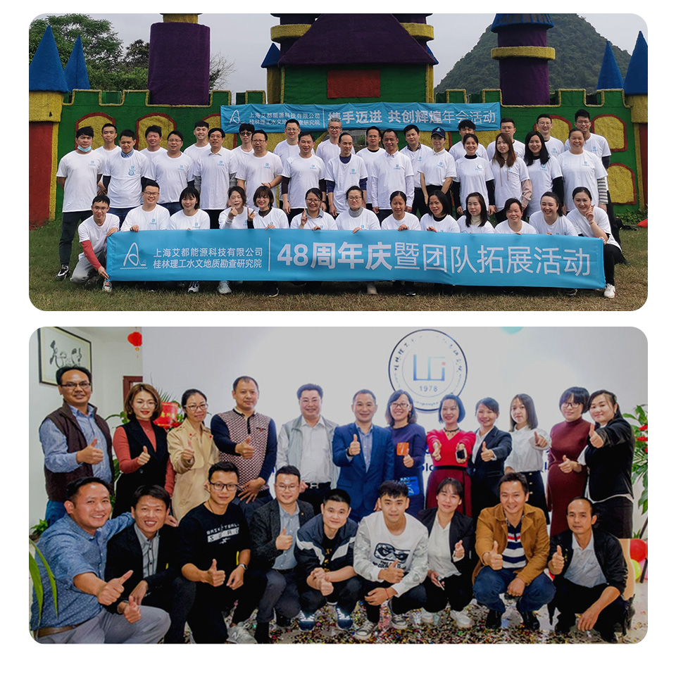
QUALIFICATION CERTIFICATE
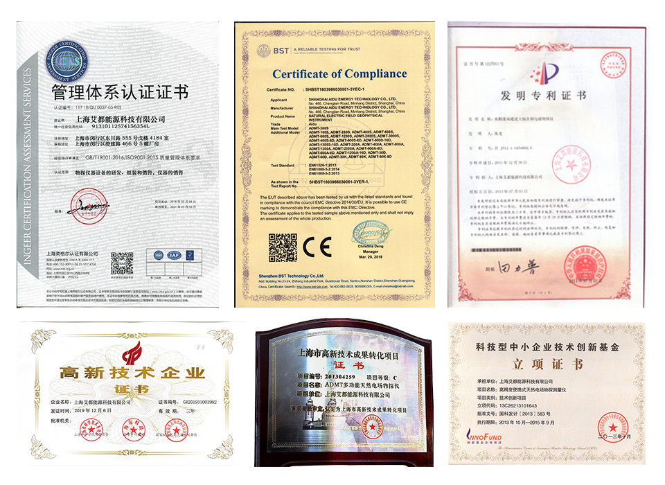
Certificates and Awards: CE, ISO, China National High-tech Enterprise, China National Technical Invention Patent
DEVELOPMENT HISTORY
1973: Developed the domestic short-wire D75 electrical method
1977: Developed an aerial proton magnetometer
1981: Developed domestic resistivity DW83 electrical method
1988: Developed a multi-functional high-power electric method
2001: Developed the NEP series of natural electric field geophysical probes
2005: Completed the "High-Density Electrical Method" project commissioned by the Institute of Geology and Geophysics, Chinese Academy of Sciences
2011: Completed the "Controllable Source Geodetic Electromagnetic Instrument (CSAMT)" project commissioned by the Institute of Geology and Geophysics, Chinese Academy of Sciences
2013: Received the support of the Innovation Fund of the Ministry of Science and Technology, and passed the Shanghai High-tech Achievement Transformation Certification
2017: Developed mobile phone water-finding instrument and geophysical instrument, supporting two-dimensional and three-dimensional automatic mapping of Android system
2018: Independent research and development of 16-channel series products to solve the problem of natural electric field source changes, simple, efficient and precise
2021: Water-finding instrument, geophysical prospecting instrument, aerial geophysical prospecting, earthquake advanced prediction system, etc. will be developed for cloud platform big data automatic analysis function

Two-year
Warranty

Lifetime
After-sales

Professional
Advisors

Free
Upgrade


