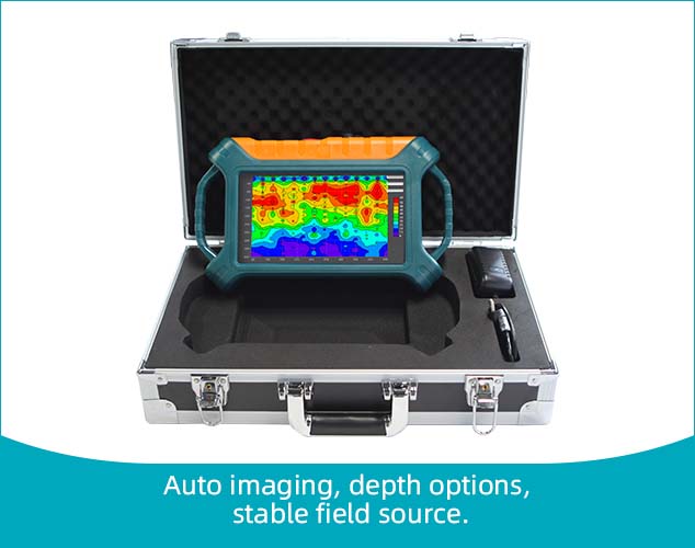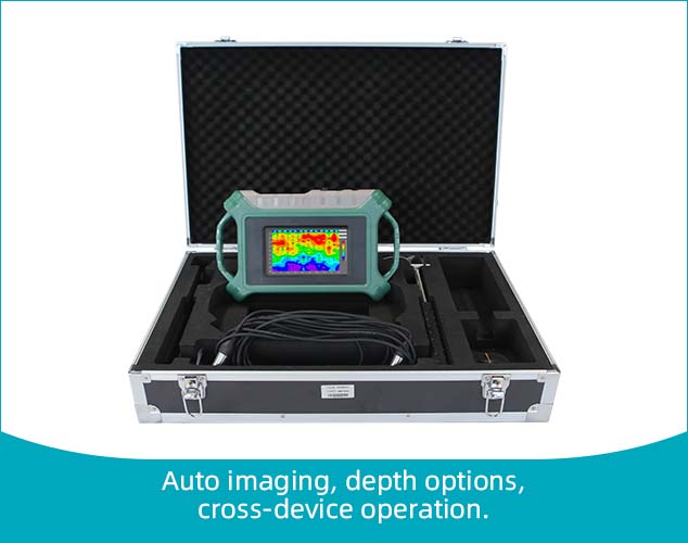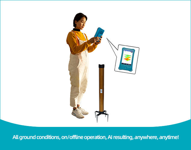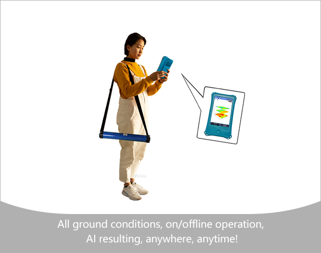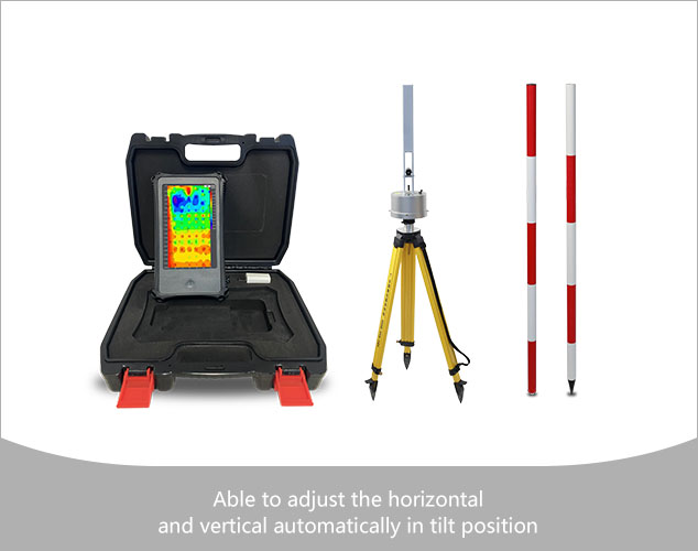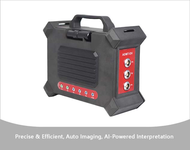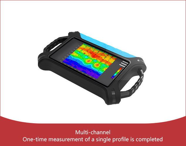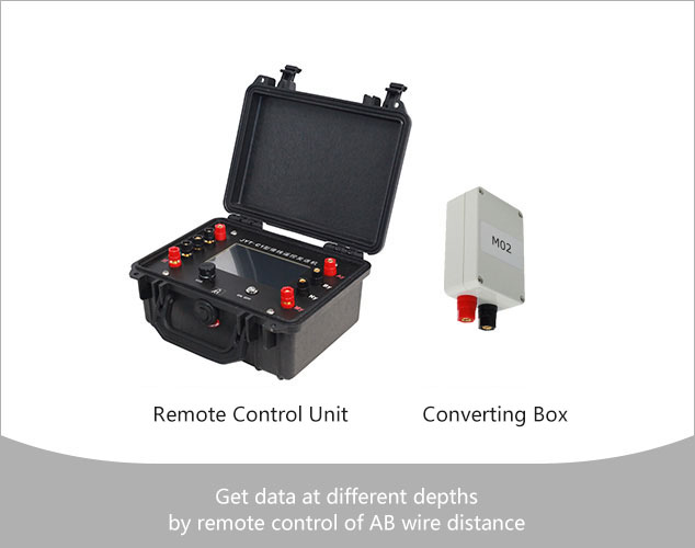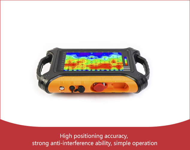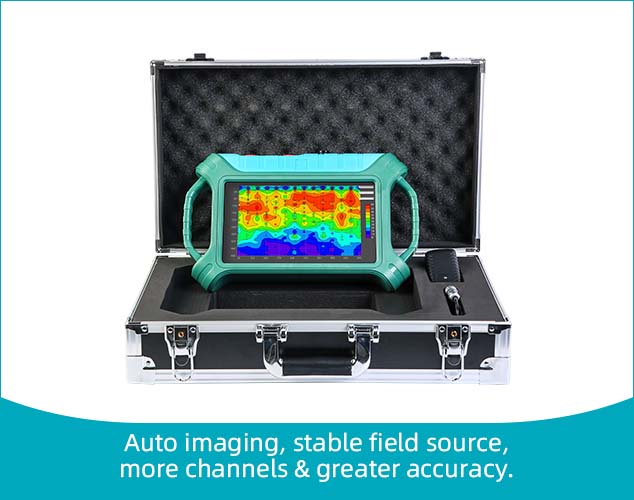
The 32-channel real-time imaging water finder is a real-time imaging intelligent water finder jointly developed with the Guilin Institute of Technology Hydrogeological Survey. 32 channels of simultaneous input measurements are used to obtain a stable fiel
16-channel real-time automatic 3D/2D image,10.1" Android touch screen
7-inch touch screen. Real-time imaging, intelligent and precise, adjustable depth. There are three measurement modes: MN electrode measurement, TT measurement with box probe as well as rod probe
AIDU's ground water exploration Golden Rod introduces segmented and multi-density scanning, data processing, 2D/3D/Slice imaging, AI insights, and offline operation, enhancing user experience and water exploration's profitability.
ZN speedy groundwater detector uses advanced CPU and algorithms, completing a measurement in 10 seconds and a full set in 2 minutes. Channels can be upgraded up to 60 by adding cables. AI offers 24/7 free analysis, enhancing accuracy through user feedback
AIDU's Golden Rod Pro introduces segmented and multi-density scanning, data processing, 2D/3D/Slice imaging, AI insights, and offline operation, enhancing user experience and exploration's profitability.
The data acquisition probe of the instrument is made of high-permeability permalloy alloy with special heat treatment method and high-precision manual winding method to refine high-performance sensors
The instrument is precise, efficient and intelligent, and can measure both the terrestrial magnetotelluric signals from natural field sources and the electromagnetic signals from artificial field sources. It has the advantages of fully wireless connection
High-performance electromagnetic sensors can be used to directly detect the concrete surface without inserting electrodes. Touch screen real-time operation, no need for traditional Bluetooth connection control. Real-time presentation of exp
This innovative electrical array does not require the use of multi-core cables, but only relies on power supply AB wires for remote control, changing the detection depth
High-performance geophysical mapping equipment that detects the internal damages in the embankment body in a non-destructive way. Touch screen operation, no need for traditional Bluetooth connection control. Real-time mapping
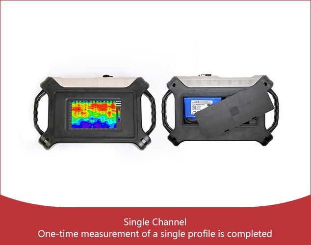
The problem of natural electric field changes over time is solved. A single profile can be measured at one time, avoiding errors caused by moving electrodes. One wiring can measure one profile at a time, and wiring only takes 5 minutes.
Sales Hotline: +8613197735816(WhatsApp)
Address: Floor 3, Building E, No. 466 Chengjian Road, Minhang District, Shanghai
E-mail: info@aidush.com
Sales Hotline
+8613197735816(WhatsApp)
Online Message
WeChat
TOP