-
Model:
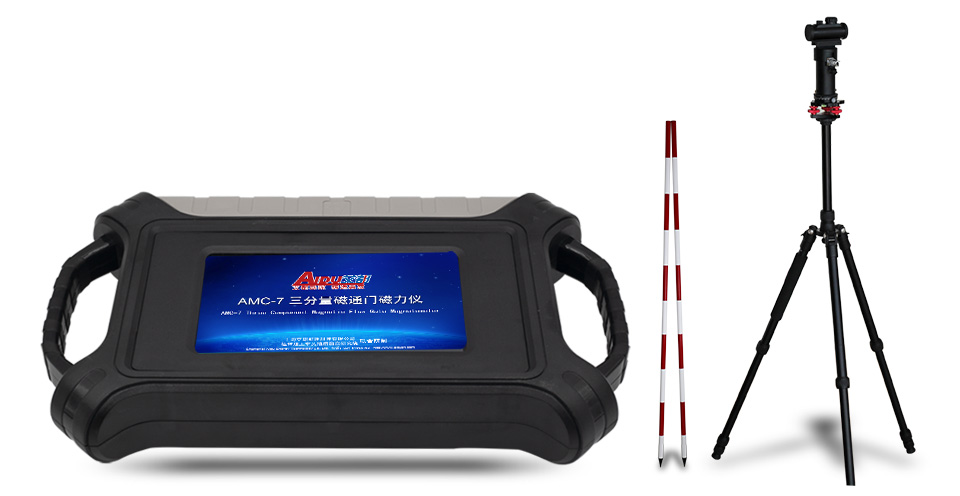
AMC-7
-
Features:
Simultaneously measure the magnetic field and total field in the three directions of X, Y and Z. It has the characteristics of high resolution, high precision, stable performance, and small temperature drift, which is suitable for ground and mine measurem
AMC-7 intelligent three-component magnetic prospector adopts three high-performance permalloy excitation coil sensors to measure the magnetic field and total field in three directions of X, Y and Z respectively. The change of the magnetic field intensity is converted by a special high-performance circuit, with a resolution of 0.1-1nT, which is 0.000001 times the intensity of the geomagnetic field, and has a very high response ability to weak signal changes. It has the characteristics of high permeability, high resolution, high precision, stable performance and no temperature drift.
R&D Since 1973
Stable Accurate

Free upgrading at the original price after purchasing within six months
AMC-7 three-component fluxgate magnetometer is mainly used to find hidden magnetite and other strong magnetic targets on the ground or in tunnels. It is also used for geomagnetic pulsation monitoring, magnetic mixed mineral deposit exploration, magnetic survey mapping, magnetic pipeline detection, concrete steel reinforcement detection, etc., to make more accurate judgments on the reserves, scope and grade of iron ore, and it can also analyze and understand the direction of pipelines, etc.

Real-time
Imaging

Accurate
& Stable

Mobile
Imaging

Simple &
efficient
MEET YOUR VARIOUS NEEDS
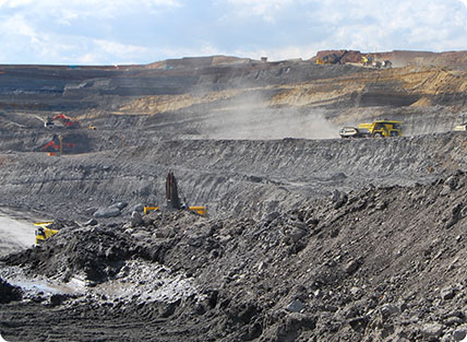
Iron Mineral Exploration

Magnetic Mapping
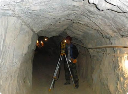
Roadway Magnetic Survey
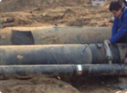
Pipeline Inspection
Iron Mineral Exploration: It is widely used for detailed investigation and general survey and exploration of other iron ores and metal ore such as magnetite, reducing the risk of mine investment, and improving the success rate and scientificity of mining
Magnetic Mapping: Magnetic exploration, oil and gas exploration, fault location, earthquake precursor monitoring, volcano observation and other hazard geological surveys
Roadway Magnetic Survey: Widely used in the exploration of underground roadways and tunnels
Pipeline Inspection: It is widely used in surveying applications such as advanced earthquake prediction and detection, geological disasters, archaeological excavations, and metal pipelines.
SIX ADVANTAGES
TO HELP YOU EXPLORE WORRY-FREE
Simple operation
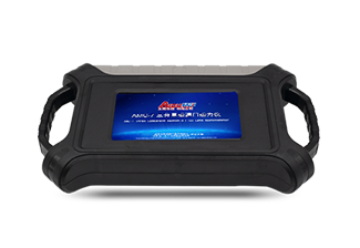 7 inch touch screen operation
Learn to operate in 5 minutes
Accurate and stable
 High precision, small steering difference, complex terrain, automatic vertical measurement of Z axis
Mobile drawing
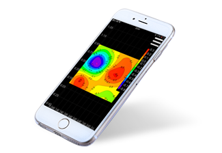 Draw a cross-sectional color map on the mobile phone to determine the location
Smart and efficient
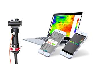 Three high-efficiency permalloy excitation coil sensors are used, which are mechanically suspended horizontally and vertically, and are easy to operate. It can also wirelessly connect to mobile phones and computers to draw two-dimensional and three-dimensional color pictures.
Perfect after-sales
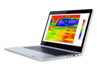 Report by computer
Expert online data analysis
Patented product
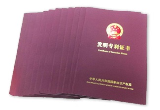 Obtained multiple invention patents
(Patent No.: ZL201310205318.9, ZL201110454869.X, ZL201320054153.5, ZL201320303919.9)
BEAUTIFUL IN SHAPE
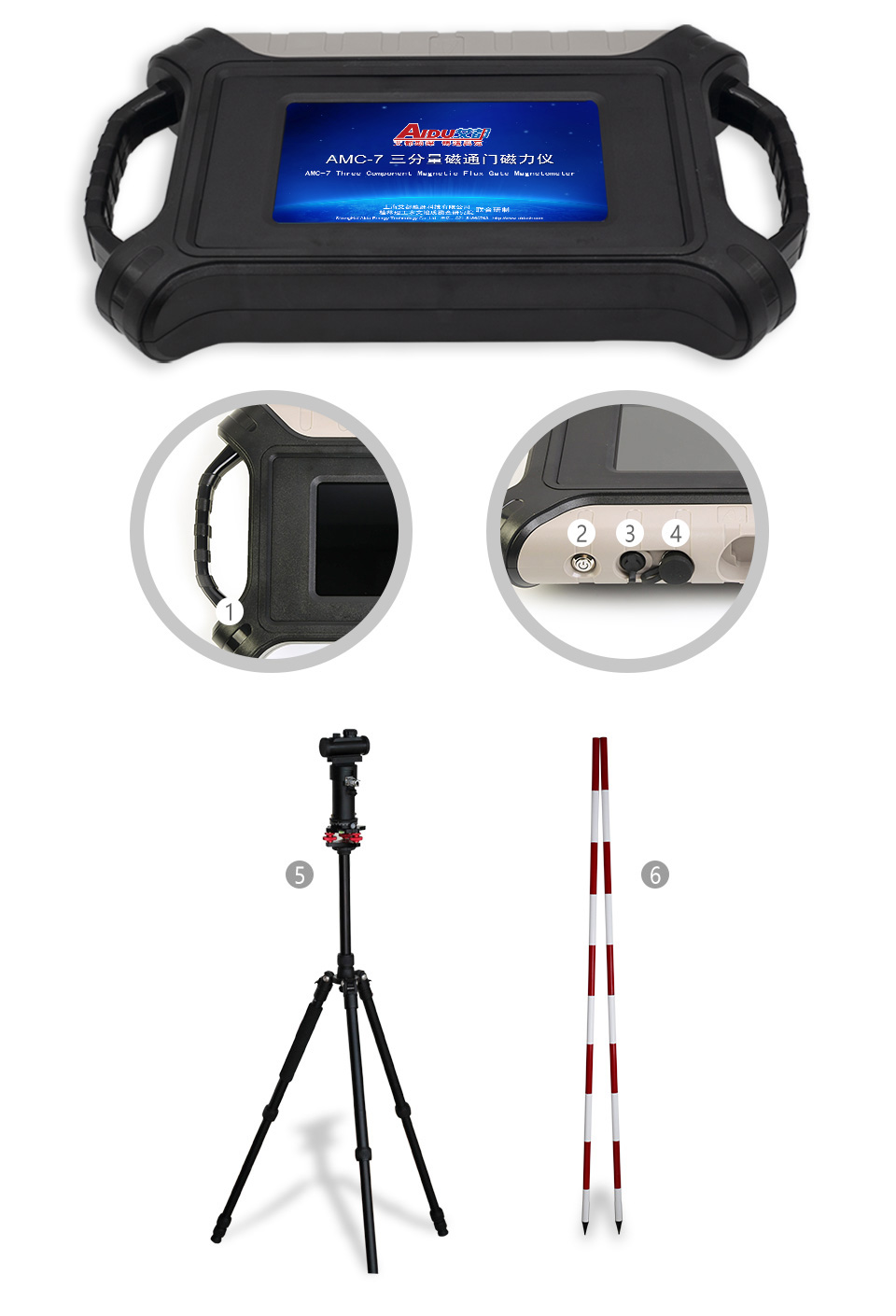
① Grip ② Switch ③ Charge ④ Probe connection ⑤ High performance probe ⑥ Probe pole
MAIN MODELS
AND TECHNICAL PARAMETERS
| Parameter | AMC-7 |
|---|---|
| Detection axis | Vertical component of geomagnetic field |
| Range | ±100000nT |
| Resolution | 0.1-1nT |
| Precision | <±0.5% (full scale) |
| Poor steering | Z axis ≤ ±10nT, total field ±20nT Silicon oil damped free fall Z axis, intelligent algorithm correction |
| Data storage | 16G |
| Data collection frequency | 10 times per second (automatic and manual) |
| Connection | Bluetooth, serial port |
| Display | 7-inch high-brightness touch screen, difference or absolute value display data and curve, can wirelessly connect to mobilephone to display color pictures |
| Power consumption | 160mA~500mA |
| Power supply | DC7.4V 4000mA lithium battery |
| Working environment temperature | -10℃~+50℃ |
SERVING DOZENS OF COUNTRIES AROUND
THE WORLD, WELL RECEIVED BY USERS

PROFESSIONAL TEAM

QUALIFICATION CERTIFICATE
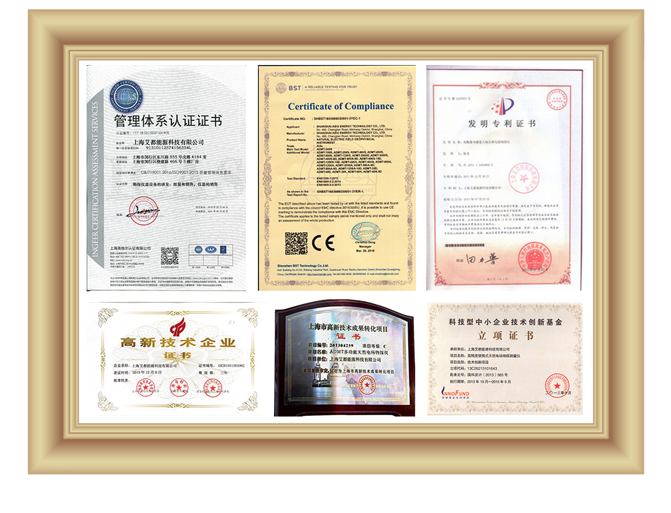
Certificates and Awards: CE, ISO, China National High-tech Enterprise, China National Technical Invention Patent
DEVELOPMENT HISTORY
1973: Developed the domestic short-wire D75 electrical method
1977: Developed an aerial proton magnetometer
1981: Developed domestic resistivity DW83 electrical method
1988: Developed a multi-functional high-power electric method
2001: Developed the NEP series of natural electric field geophysical probes
2005: Completed the "High-Density Electrical Method" project commissioned by the Institute of Geology and Geophysics, Chinese Academy of Sciences
2011: Completed the "Controllable Source Geodetic Electromagnetic Instrument (CSAMT)" project commissioned by the Institute of Geology and Geophysics, Chinese Academy of Sciences
2013: Received the support of the Innovation Fund of the Ministry of Science and Technology, and passed the Shanghai High-tech Achievement Transformation Certification
2017: Developed mobile phone water-finding instrument and geophysical instrument, supporting two-dimensional and three-dimensional automatic mapping of Android system
2018: Independent research and development of 16-channel series products to solve the problem of natural electric field source changes, simple, efficient and precise
2021: Water-finding instrument, geophysical prospecting instrument, aerial geophysical prospecting, earthquake advanced prediction system, etc. will be developed for cloud platform big data automatic analysis function

Two-year
Warranty

Lifetime
After-sales

Professional
Advisors

Free
Upgrade


